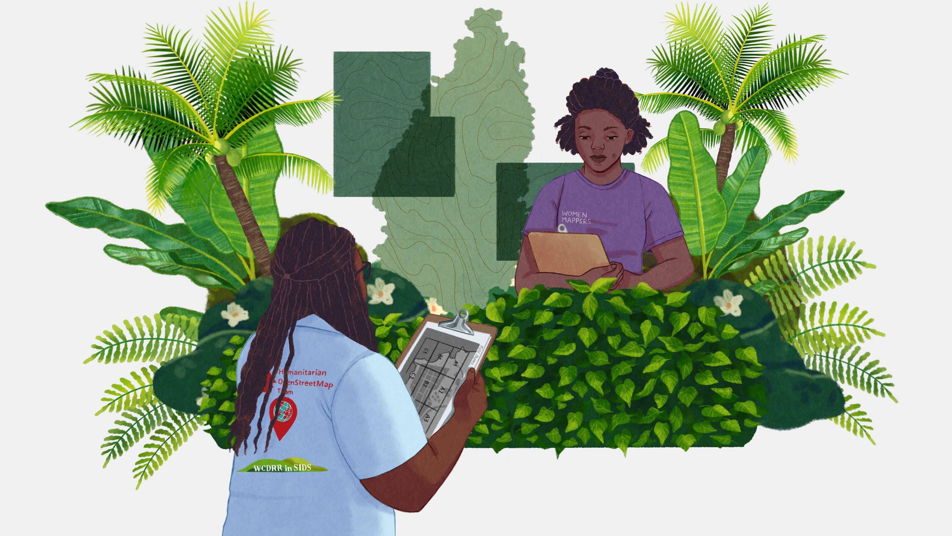
In the face of escalating climate threats, the need for precise, localized data has never been more critical. Volunteer cartographers on St. Lucia are harnessing local knowledge to create detailed maps that address the urgent challenges posed by rising sea levels and increasingly severe storms. This grassroots initiative not only empowers communities but also highlights a significant gap in traditional mapping efforts, which often overlook the nuanced realities of vulnerable regions. By integrating local insights into mapping, these volunteers are crafting tools that can inform disaster preparedness and response, ultimately aiming to save lives and mitigate the impacts of climate change.
The implications of this crowdsourced mapping effort extend beyond St. Lucia, presenting a scalable model for other regions facing similar climate risks. By leveraging community expertise, these maps can enhance resilience and foster proactive strategies against climate disasters. The initiative underscores the importance of localized data in global climate adaptation efforts; it illustrates how empowering local voices can lead to more effective solutions. As climate change continues to threaten populations worldwide, such innovative approaches may prove essential in safeguarding communities and ensuring their survival in an uncertain future.